Okay, I wanted to find out the limits of my endurance. If I'm to survive a pair of 85 mile days in September (sponsor me!), I figured it was high time I did a really long ride.
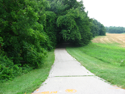
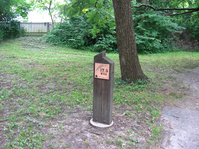
The Indian Creek Trail runs 17.5 miles in Johnson County, then continues for something like two miles into Jackson county. I say something like because each city the trail runs through is responsible for its own set of markers.
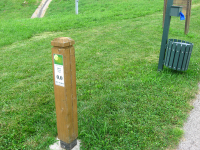
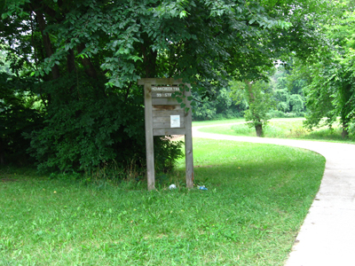
Olathe does the best job: not only do they put stout, obvious markers every half mile, they also post signs clarifying which way the main trail continues when there are forks in the road. Sometimes it's obvious, but often an access lot branch is upwards of a half mile long and wraps around a stand of trees or something.
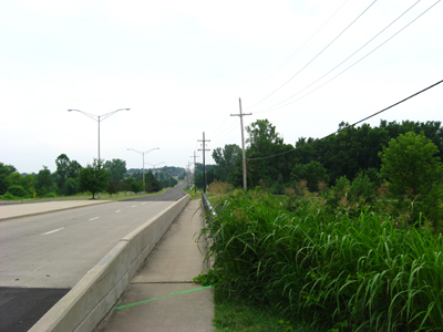
Get into Overland Park and it's modest mile markers, ones that are easily missed. And someone has spray painted arrows onto the pavement in some places, but mainly if you don't know which is the main trail you end up doing some backtracking when you realize you're in the parking lot of some apartment complex or at an entry point in a subdivision.
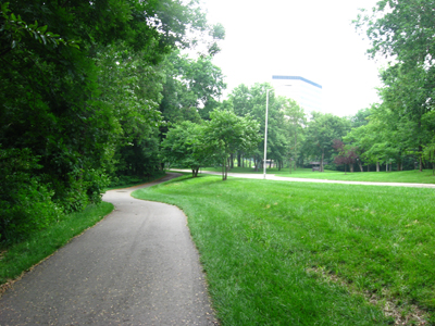
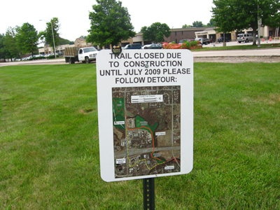
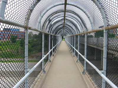
A rider who helped explain the detour (there's a detour around some trail construction that involves riding over the pedestrian bridge at I-435 and Roe) told me 'Wait until you get to Leawood. Gets real confusing.'
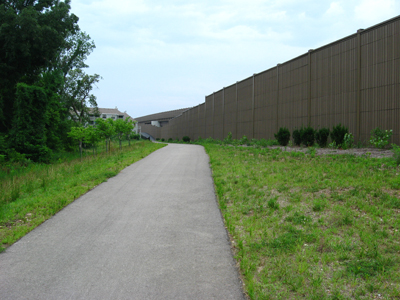
And it does. Thinking I was following the main trail I ended up on Mission Road by the Mission Farms shopping center looking for a trail continuation that wasn't there.
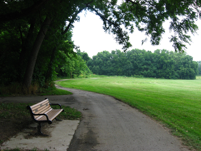
Anyway, if Overland Park and Leawood assume you'll learn the trail through trial and error, get to the Kansas City part of the trail and the mile markers have all lost their numbers. According to MapQuest, it's 2.01 miles from 103rd & State Line to 99th & Holmes where the trail ends. That's taking surface streets, but it seems about right.
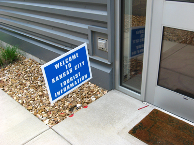
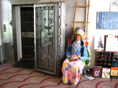
There's a visitor's center at 99th & Holmes, a guy with a really friendly Airedale dog, maps and free cookies. He told me they're building an extension of the trail, maybe even thinking of hooking it to the Trolley Trail, which would be awesome. I'll have to take the girls there sometime, they have an Indian mannequin guarding a bank vault and stuff.
I stopped along the way back at the Sonic on Roe. My two water bottles were empty and my stomach thought my throat had been cut. I ordered a sonic burger and a limeade. The carhop looked at me like I was the most amusingly unaccountable customer she'd ever seen. She was very sweet about it, encouraging me to take a seat at one of the tables to eat. And I'm like, no really, if I sit down I won't be able to continue. And my car is something like fifteen miles away.
I talked to another cyclist, an older guy who looked like he was having a tough time. I originally stopped because I wondered if he needed medical help. He didn't. He told me about a round-about to avoid one of the few granny gear hills this trail offers. He said he flat out won't try the hills, but I thought it'd be cheating to avoid it since most of the Indian Creek trail is extremely gentle ups and downs. Then I guess I missed my turn or something and next thing I know I'm in a part of the trail I don't know and then when things looked familiar again it was, 'Oh, yeah, that hill is back there.'
With the detours and backtracking, I figure the total for today was around 40 miles. I can barely walk up stairs, my fingers are still partially numb from my body weight leaning on the handlebars.
Was I at the limits of my endurance? I don't know how much further I could have gone but I was sure grateful to be back at the car. I'd been gone for five hours, a fairly pitiful 8 mile pace. Of course, stopping to take pictures, stopping to eat, stopping to talk to the old guy...

No comments:
Post a Comment